
Key Takeaways
- Start by confirming the surveyor holds a current Louisiana Professional Land Surveyor (PLS) license — only a licensed surveyor can sign and seal a plat that lenders, title companies, and parish offices will accept.
- Match the firm to the specific survey you need. Boundary work, topographic mapping, construction staking, FEMA LOMA submittals, and pipeline surveys each call for different experience and equipment.
- Ask what the quote actually includes — records research, field crew time, monument setting, and a sealed drawing — because two prices for "a survey" often cover very different scopes.
- Local experience matters in Acadiana, where flood zones, coastal ground conditions, and old split-estate land descriptions routinely complicate otherwise simple parcels.
How Do You Choose a Land Surveyor in Lafayette, LA?
Choose a land surveyor in Lafayette, LA by verifying their Louisiana license first, then confirming they regularly perform the exact type of survey your project requires, and finally comparing written scopes rather than headline prices. A qualified surveyor should be able to tell you what research they'll do, what they'll set in the ground, what you'll receive, and roughly how long it will take — before you commit.
That sequence matters. Licensing is a pass/fail gate, experience determines whether the work will hold up, and price is only meaningful once you know what's inside the number. Property owners who reverse that order — shopping price first — are the ones most likely to end up paying twice: once for a survey that doesn't satisfy a lender or a title underwriter, and again for the survey that does.
Verify Louisiana Licensing and Firm Registration
In Louisiana, land surveying is a licensed profession regulated by the Louisiana Professional Engineering and Land Surveying Board (LAPELS). Only an individual holding a current Professional Land Surveyor license may practice surveying and affix a seal to a survey plat. Firms offering surveying services must also be licensed with the board, not just the individual surveyors on staff.
This is the easiest and most important check you can make, and it takes minutes. Ask for the surveyor's license number and verify it directly through LAPELS. If a plat arrives without a signature and seal, it is not a legal survey document — it's a sketch. Banks, closing attorneys, and Lafayette Parish permitting staff will treat it accordingly.
Why the Seal Is More Than a Formality
A sealed plat is a professional opinion the surveyor is personally accountable for. It states where the boundary lies based on measured evidence and researched title, and it carries real professional liability. Unlicensed measuring — a fence contractor with a tape, a neighbor with a phone GPS app — carries none of that weight, and none of that protection for you.
Match the Surveyor to the Type of Survey You Need
"Land surveying" covers several distinct services, and firms don't have equal depth in all of them. Before you call anyone, get clear on which deliverable your project actually requires — then ask how often the firm produces that specific product.
- Boundary survey — establishes and marks your property lines. Needed for fences, disputes, and many closings.
- Topographic survey — maps elevations and existing features so engineers and architects can design drainage and grading.
- Construction staking — transfers approved design plans to the ground so crews build in the right place at the right elevation.
- Elevation certificate and FEMA LOMA work — documents a structure's elevation relative to the base flood elevation, and petitions FEMA to amend a flood zone designation.
- Pipeline and wellhead surveys — route, as-built, and location work for oil and gas operators across South Louisiana and the Gulf Coast.
- Subdivision and platting surveys — creates new lots and the recorded plat that governs them.
A firm that handles residential lot surveys competently may have little experience with a FEMA amendment package or a wellhead location tie. Pioneer Surveying's surveying services span all of these categories, which is worth asking about when a project needs more than one type of survey — for example, a topographic survey for design followed by construction staking during the build.
Ask About Equipment and Field Methods
Modern surveying accuracy comes from the combination of GNSS positioning, precise ground instruments, and — increasingly — aerial data collection. A surveyor should be able to explain in plain language which tools they'll use on your site and why.
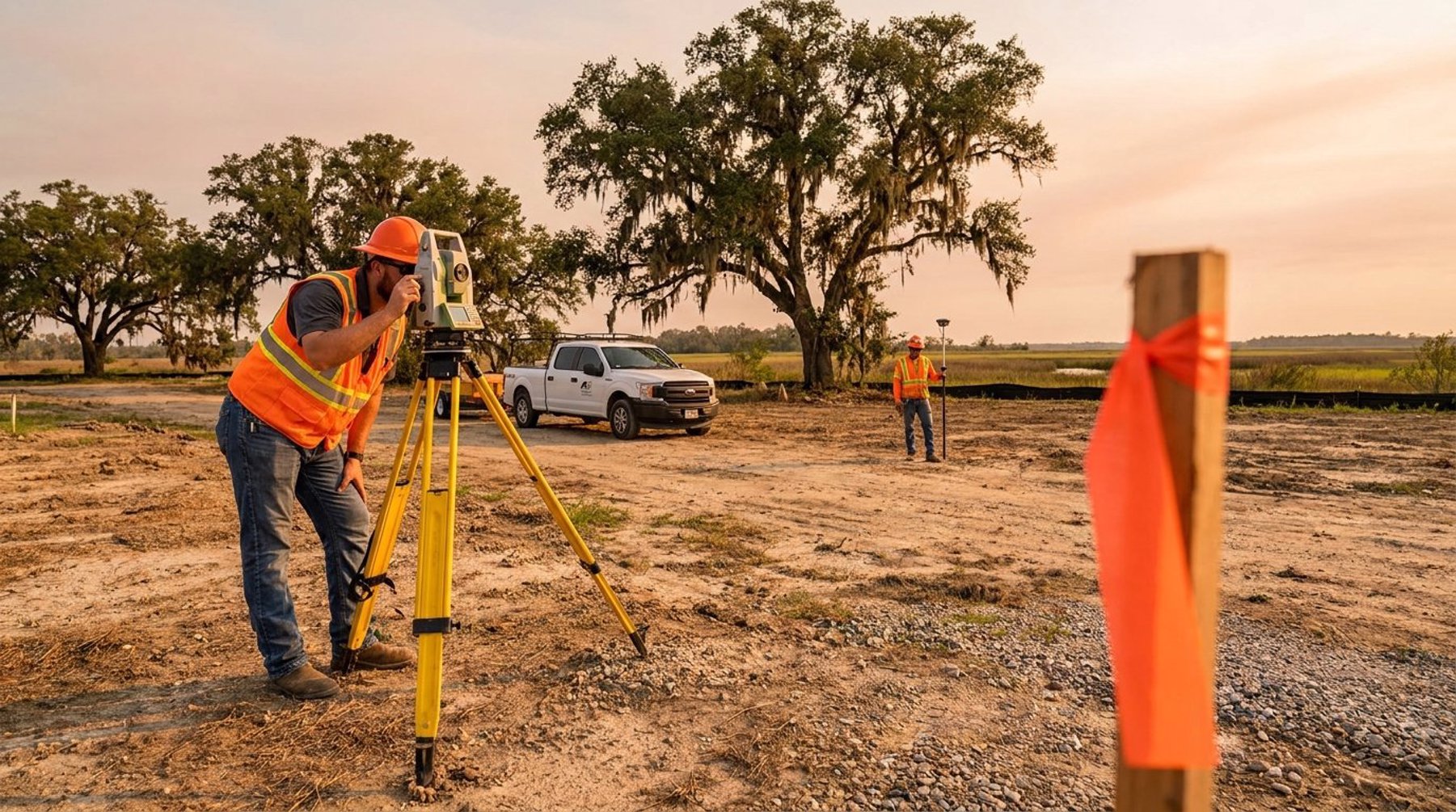
Expect to hear about RTK GNSS receivers, which use real-time corrections to achieve centimeter-level positioning far faster than older static methods. Expect robotic total stations for precise angle and distance measurement where satellite visibility is poor — under tree canopy, along wooded property lines, or in tight urban lots. For larger sites, UAS (drone) photography and photogrammetry can capture dense surface data across many acres in a single flight, while laser scanning excels at detailed as-built capture of structures and complex infrastructure.
Aerial Isn't Always the Right Answer
Be cautious with any firm that pitches drones as the solution to every project. Aerial photogrammetry is excellent for open ground, stockpiles, corridors, and large acreage. It is far less useful for locating buried monuments, shooting elevations beneath heavy vegetation, or resolving a boundary that hinges on documentary evidence rather than visible surface features. The right answer is usually a blend of methods, chosen for the site — and a surveyor who explains that tradeoff is telling you something about their judgment.
Compare Scope, Deliverables, and Turnaround — Not Just Price
Two quotes that look $400 apart may not be describing the same job. Before comparing numbers, get each firm to spell out what's included so you're evaluating equivalent work.
- Records research — will they pull prior surveys, recorded plats, and adjoining deeds, or work only from what you provide?
- Field work — how many corners will be located, and will missing monuments be reset?
- Markings — are iron rods, caps, or flagging included, and are they suitable for a contractor to work from?
- Deliverables — a signed and sealed plat, digital CAD files, a PDF, a legal description, or some combination?
- Turnaround — how long from field work to final sealed drawing, and is expedited service available?
Turnaround deserves particular attention when a closing date or a permit deadline is involved. Ask for a realistic schedule rather than a best case, and ask what could push it — weather, standing water, title complications, or a parish records backlog. Honest scheduling is a good proxy for how a firm will communicate once work begins.
Red Flags When Hiring a Surveyor in Acadiana
Most problems with survey work trace back to warning signs that were visible before hiring. Watch for these.
- No license number offered when asked directly, or reluctance to be verified.
- A verbal quote only, with no written scope describing what will be delivered.
- A price far below every other bid, which usually means research or monument setting has been cut.
- Guarantees about outcomes — a surveyor who promises your flood zone will change, or that your line will fall where you hope, before doing the work.
- No local Acadiana experience with flood zone mapping, coastal ground conditions, or the fragmented old land descriptions common in Lafayette Parish, Carencro, and New Iberia.
Local familiarity is not a soft factor here. A surveyor who regularly works in Broussard, Youngsville, and Scott already knows the subdivision plats, the drainage servitudes, and the parish filing process. That knowledge shortens research time and reduces surprises.
Questions to Ask Before You Sign
Bring these five questions to every conversation. The answers will separate firms faster than any online review.
- What is your Louisiana PLS license number, and who will seal the plat?
- How often do you perform this exact type of survey, and can you describe a recent similar project?
- What does the quote include for research, field work, monuments, and deliverables?
- What is your realistic turnaround, and what would delay it?
- Who is my point of contact if a question comes up after delivery?
If you're weighing options for a project in Lafayette or anywhere across Acadiana, Pioneer Surveying is happy to walk through scope and timing before you commit to anything. Call (337) 443-0955 or reach out through our contact page to discuss what your parcel and your deadline actually require.
Frequently Asked Questions
How do I verify that a land surveyor is licensed in Louisiana?
Ask the surveyor for their Professional Land Surveyor license number and verify it with the Louisiana Professional Engineering and Land Surveying Board (LAPELS), which regulates the profession statewide. Surveying firms must be licensed with the board in addition to the individual surveyors who sign and seal plats. A plat without a signature and seal is not a legal survey document.
What questions should I ask before hiring a surveyor in Lafayette, LA?
Ask for the license number, how frequently the firm performs your specific survey type, exactly what the quote covers for records research and field work, what deliverables you receive, and a realistic turnaround with the factors that could delay it. Written answers to those five questions make competing quotes genuinely comparable.
Is the cheapest land survey quote usually a good deal?
Rarely. A quote well below the others typically reflects reduced scope — less title and records research, fewer corners located, or no new monuments set. If the resulting plat is rejected by a lender, title underwriter, or permitting office, you pay again for a survey that meets the standard. Compare scope first, then price.
Does a surveyor need local experience in Acadiana?
It helps considerably. South Louisiana parcels frequently involve FEMA flood zone mapping, low-lying or wet ground conditions, drainage servitudes, and land descriptions that have been divided among heirs over generations. A surveyor who works regularly in Lafayette Parish and surrounding communities already knows those records and conditions, which shortens research and reduces surprises.
Should I hire a surveyor who uses drones?
Drone photogrammetry is valuable for large acreage, open terrain, corridors, and volume measurement, but it does not replace ground methods for locating boundary monuments or shooting elevations under dense vegetation. The best choice is a firm that offers aerial capability alongside RTK GNSS and robotic total stations and can explain which method fits your site.