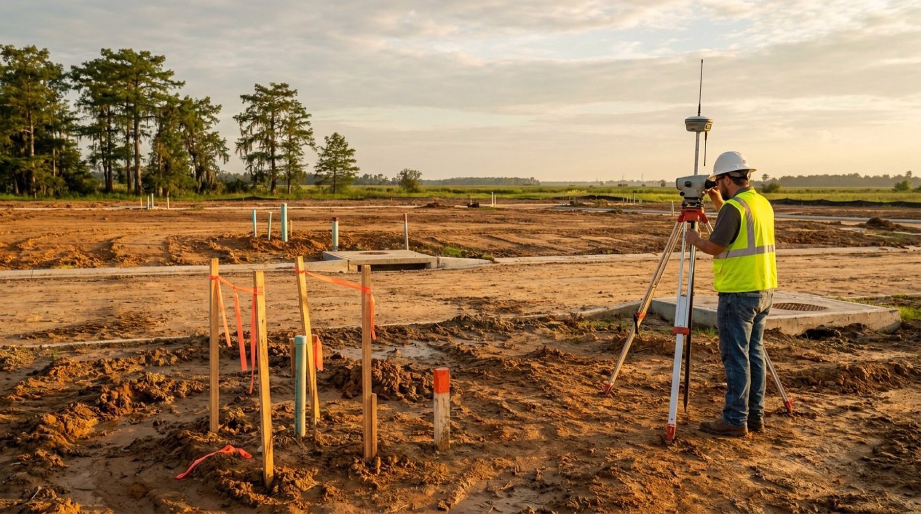
Subdivision Surveys in Lafayette, LA: A Developer's GuideA subdivision survey in Lafayette, LA divides land into legal lots through platting. Learn the process, costs, and approval steps for Acadiana developers.
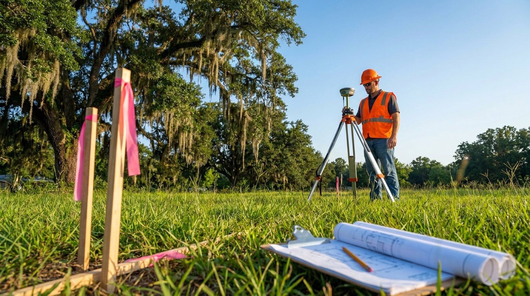
Boundary vs Topographic vs ALTA Survey ExplainedBoundary, topographic, or ALTA survey? A Lafayette, LA land surveyor explains the difference and how to choose the right survey for your project.
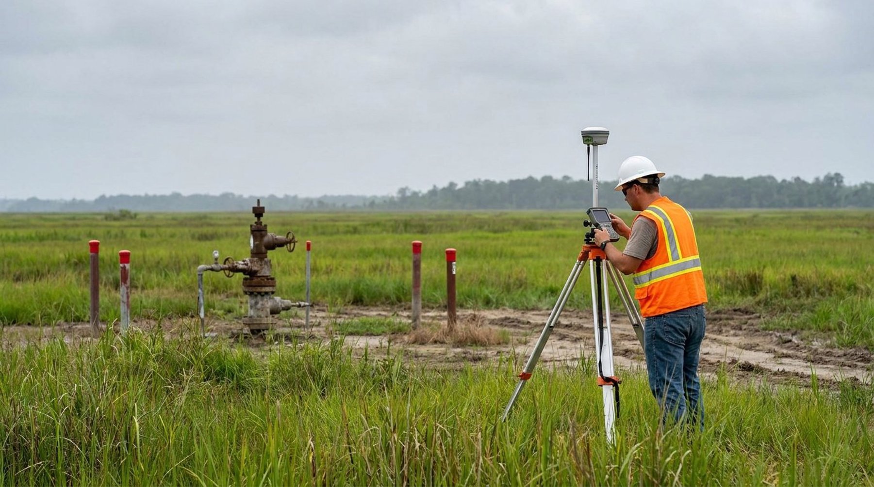
Pipeline & Wellhead Surveys in Louisiana: A GuideA pipeline survey maps a route, easements, and wellhead location across Louisiana. Learn the process, technology, and why accuracy matters in Acadiana.
Land Survey Cost in Lafayette, LA: What to ExpectHow much does a land survey cost in Lafayette, LA? Typical price ranges, what drives the cost, and how to budget for an accurate survey in Acadiana.
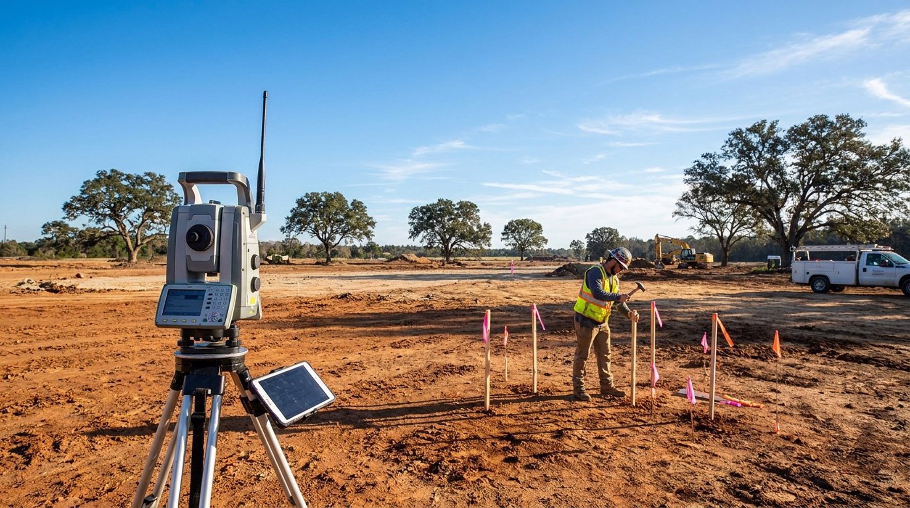
Construction Staking in Lafayette, LA: A Complete GuideConstruction staking Lafayette Louisiana services translate engineering plans into precise field markers, keeping builds on-spec, on-budget, and on-schedule.
How to Get a FEMA LOMA in Lafayette, LALearn how to get a FEMA Letter of Map Amendment (LOMA) in Lafayette, LA. A professional elevation survey could save you thousands in flood insurance.
Professional Land Surveying Services in Lafayette, Louisiana: Why Expertise MattersWhen undertaking any construction project, property transaction, or land development in Lafayette, Louisiana, one of the most critical steps often gets overlooked until problems arise: professional land surveying. Whether you're a homeowner looking to build a fence, a developer planning a commercial complex, or an engineer designing infrastructure improvements, accurate surveying data forms the foundation of your project's success.
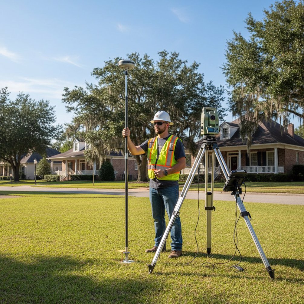
Understanding Topographic Surveys: What Is a Topographic Survey?A topographic survey maps the land’s surface, showing natural and man-made features. It provides essential data on terrain elevations for planning construction and development projects. This article explores what is a topographic survey, its components, tools, and applications.
Efficient and Accurate: The Benefits of Drone SurveyingDrone surveying uses drones to efficiently gather accurate spatial data. This article explores its workings, key technologies, the types of drones used, and how it surpasses traditional methods. We’ll also look at its applications, benefits, and challenges.
Surveying Services in LouisianaNeed to measure and map your land in Louisiana? Surveying services provide the precise data required for construction, property transactions, and boundary disputes. This guide will explain why surveying is essential and what you can expect from different services.
Ultimate Guide to Land Surveying: Techniques & ToolsLand surveying is the science of measuring and mapping the land. It plays a crucial role in planning, developing infrastructure, and resolving property boundaries. Accurate land surveys ensure reliable data for construction, legal descriptions, and environmental conservation. In this guide, you’ll learn about the techniques, types, and tools used in land surveying.