
Efficient and Accurate: The Benefits of Drone Surveying
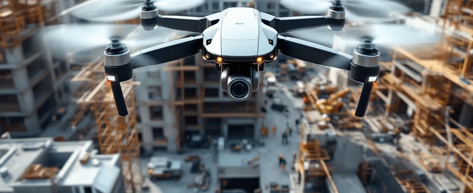
Efficient and Accurate: The Benefits of Drone Surveying
Key Takeaways
Drone surveying improves efficiency and accuracy by automating data collection processes using advanced sensors and technologies.
Various types of drones—multirotor, fixed-wing, and hybrid VTOL—are tailored for specific surveying tasks, enhancing the effectiveness of data capture.
Drone surveys provide significant cost savings and safety benefits compared to traditional methods, while producing versatile deliverables such as 2D maps and 3D models.
Understanding Drone Surveying
Drone surveying refers to the use of drones equipped with advanced sensors to gather information about distances and positions in either 2D or 3D space. These unmanned aerial vehicles (UAVs) have redefined the surveying profession, making them indispensable tools for tasks such as 3D mapping, land surveys, photogrammetry, and topographic surveys. The primary objective is to capture 3D point clouds that provide surveying-grade deliverables, essential for various applications in construction, land planning, and more.
Traditional surveying methods, while reliable, often involve time-consuming and labor-intensive processes. Drone surveys, on the other hand, capture data more safely and quickly, resulting in increased reliability and efficiency. Drones offer a complementary tool for surveyors, enhancing traditional methods rather than replacing them entirely. The role of professional surveyors remains crucial, as humans interpret and analyze the data collected by drones to ensure accuracy and relevance.
Various users, including construction professionals and land planners, rely on the data captured from drone surveying. Technologies like Ground Control Points (GCPs), Real-Time Kinematic (RTK), and Post-Processed Kinematic (PPK) techniques further enhance the accuracy of drone surveys. Factors such as the precision of LiDAR, IMU, and GNSS technologies also play a significant role in determining data accuracy.
This blend of advanced technology and human expertise makes drone surveying a powerful tool in the modern surveying industry.
How Drone Surveys Work
The process of drone surveys begins with the use of UAVs, which can operate autonomously or via remote control, allowing for flexible navigation over survey sites. These drones are adept at flying over challenging terrains and inaccessible areas, ensuring comprehensive data collection. Drones equipped with downward-facing sensors, such as cameras and LiDAR, capture aerial data crucial for surveys. Multispectral and RGB cameras are commonly used to capture high-resolution images during these operations.
Drone surveys often use systems like Real-Time Kinematic (RTK) to achieve high data accuracy. Post-Processed Kinematic (PPK) techniques further refine this accuracy during the data processing stage, ensuring relative accuracy. These technologies ensure that the coordinates and measurements captured are precise, making the data reliable for various applications. Additionally, drones photograph the ground from different angles, tagging images with exact coordinates to ensure accurate aerial mapping.
An effective drone survey setup includes a GNSS receiver, 3D laser scanner, cameras, and an Inertial Measurement Unit (IMU) for accurate data collection. Some drones also incorporate LiDAR payloads to gather more detailed information.
This combination of advanced hardware and sophisticated software enables drones to automate data collection, making the surveying process faster, safer, and more accurate than traditional methods.
Types of Drones Used in Surveying
Drone surveys utilize various types of drones, each suited to different surveying needs. The two main types are multirotor and fixed-wing drones. Multirotor drones are ideal for aerial photography and inspections due to their ease of use and ability to hover. They are perfect for detailed surveys of smaller areas where precise maneuvering is required.
Fixed-wing drones, on the other hand, are more energy-efficient, allowing for longer flight times and the ability to cover expansive areas during surveys. However, they typically require more training to operate due to their different flight dynamics. These drones are particularly useful for large-scale topographic surveys and aerial mapping projects where extensive area coverage is necessary.
Hybrid VTOL (Vertical Take-Off and Landing) drones combine the features of both fixed-wing and multirotor drones, enabling them to take off and land vertically while also being capable of long-distance flight. Single-rotor drones provide greater efficiency and can handle heavier payloads, making them suitable for specialized tasks such as aerial LiDAR scanning.
This diversity of drone types ensures that surveyors can choose the best tool for their specific needs, enhancing the efficiency and accuracy of their work.
Precision of Drone Surveys
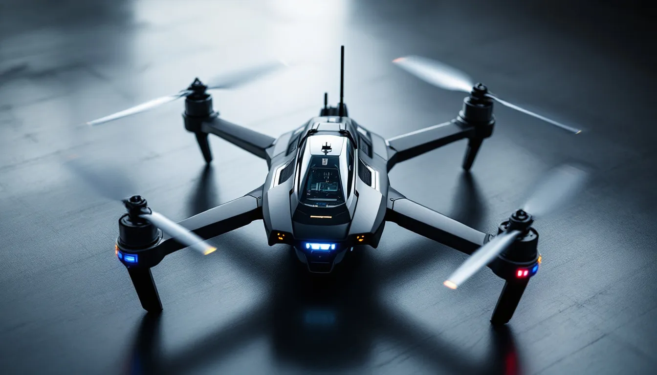
The precision of drone surveys is one of their most significant advantages over traditional surveying methods. Drones can achieve centimeter-level accuracy, a level of precision that is critical for applications requiring detailed measurements. Ground Control Points (GCPs) are essential markers used to align drone survey data with true geographic coordinates, thereby enhancing accuracy. Technologies like Real-Time Kinematic (RTK) and Post-Processed Kinematic (PPK) further improve GPS accuracy, ensuring that the data collected is highly reliable.
Effective flight planning is crucial for achieving comprehensive area coverage and consistent results during drone surveys. The resolution of a drone’s camera and sensors directly affects the precision of the measurements and the clarity of the mapping outputs. High-resolution sensors allow for more detailed data, which is essential for creating accurate topographic maps and 3D models.
The combination of advanced technologies like LiDAR, IMU, and GNSS with meticulous flight planning ensures that drone surveys deliver high-quality, precise data. This precision makes drone surveys invaluable for various applications, from construction site analysis to environmental monitoring, where accurate data is paramount.
Data Collection Techniques
Data collection in drone surveying involves several advanced techniques that enhance the accuracy and detail of the collected information. LiDAR (Light Detection and Ranging) is one such technology, capable of generating lidar data even in challenging environments like dense forests. LiDAR uses 3D laser scanners to measure distances by analyzing light’s reflection and range from surfaces, providing highly accurate data.
Photogrammetry is another critical technique used in drone surveys. During photogrammetry-based surveys, drones capture 3D point clouds and imagery using photogrammetric cameras, producing orthorectified images from the stitched photographs. Combining photogrammetry with LiDAR enhances data accuracy and provides complementary insights, making it possible to create detailed digital elevation models and point clouds.
Multispectral imaging is also used in drone surveying to collect data within specific wavelength ranges, providing valuable insights for applications like agriculture. By using these advanced data collection techniques, drones can automate data collection and processing, resulting in accurate and comprehensive survey outputs that are essential for detailed analysis.
Applications in the Construction Industry
The construction industry has greatly benefited from the integration of drone surveying. Drones are increasingly utilized for their efficiency and ability to cover large areas quickly. For instance, drones can survey up to 120 acres per hour, vastly outperforming traditional methods that manage only five acres in the same timeframe. This rapid data collection enables construction companies to conduct site analysis, monitor progress, and ensure compliance with plans in real-time.
Drone photogrammetry allows for accurate mapping of construction sites, capturing distances, surfaces, and elevations in a single flight. The integration of drone data into project management enhances collaboration among stakeholders, ensuring that everyone has access to the most current information. This improved communication and data accuracy lead to better decision-making and more efficient project execution.
Benefits of Drone Surveying
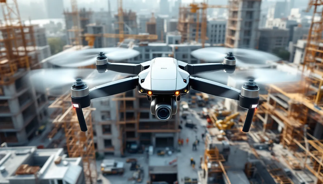
Drone surveying has revolutionized site data collection by enabling faster and more cost-effective surveying without compromising accuracy. The expenses associated with drone surveys are typically lower compared to traditional methods, making them a cost-effective option. Companies can save around $114,000 annually by adopting drone surveys, a significant reduction in operational costs. This cost-saving aspect is especially beneficial for large-scale projects where traditional surveying methods would be prohibitively expensive.
Safety is another major benefit of using drones in surveying. Drones can operate from safer distances, reducing the risk of injury compared to traditional methods that may require personnel to access dangerous areas. Drones enhance safety and reduce the likelihood of accidents by allowing workers to remain at a distance from hazardous sites. This safety improvement is particularly crucial in industries like construction, where the terrain can often be perilous.
Drones also offer improved efficiency in data collection, allowing for rapid updates that aid in decision-making for ongoing projects. They can capture large quantities of data quickly, enhancing the accuracy and timeliness of surveying results. This capability is invaluable for projects that require frequent monitoring and adjustments based on real-time data.
Environmental sustainability is another benefit of drone surveying. Drones contribute to more sustainable practices in the surveying industry by reducing waste and improving site management efficiency. The use of drones facilitates project reporting and collaboration by offering 3D models that are easily accessible to all stakeholders. These models provide a clear, detailed view of the survey site, aiding in better planning and resource management.
Challenges and Limitations
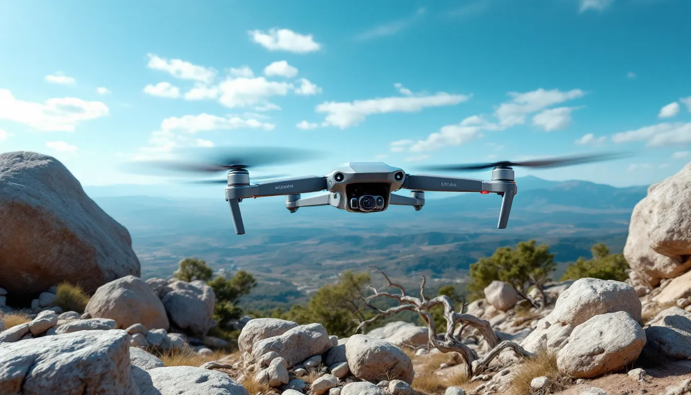
While drone surveying offers numerous benefits, it is not without its challenges and limitations. Regulatory restrictions can complicate drone operations, as there are strict rules in place that limit flights in populated areas and over certain structures. These regulations can pose significant hurdles for surveyors, requiring careful planning and sometimes limiting the scope of surveys.
Signal loss is another common issue, especially in areas with obstacles or interference. This can lead to difficulties in maintaining accurate data collection and may require additional measures to ensure data integrity.
There are also environmental concerns, as drone surveying can disturb wildlife and alter natural behaviors. Surveyors must consider these impacts and adhere to guidelines to minimize their environmental footprint.
Deliverables from Drone Surveys
Drone surveys produce a variety of deliverables, showcasing the versatility of drone applications. Depending on the software and data sensors used, high-accuracy 3D and 2D models and maps are among the main outputs. These deliverables are essential for various applications, from construction site analysis to environmental monitoring.
The following subsections will detail specific types of deliverables, including 2D orthomosaic maps, 3D models, and thermal imaging.
2D Orthomosaic Maps
2D orthomosaic maps are created by stitching together numerous drone-captured images to form a cohesive aerial representation. These maps provide detailed aerial representations essential for accurate geological analysis and are invaluable for applications that require precise mapping of large areas.
3D Models
Drones utilize airborne scanners to capture raw data necessary for generating 3D models. From the LiDAR point cloud captured by drones, professional surveyors can create contour files and various 3D maps.
These 3D models offer an opportunity for detailed analysis and virtual inspections of the surveyed areas, providing a three-dimensional representation that is crucial for various applications.
Thermal Imaging
Thermal imaging from drones aids in identifying heat anomalies, which are essential for various applications, including energy efficiency assessments. By using downward-facing sensors, drones can efficiently pinpoint areas with unusual heat patterns, providing valuable insights for property inspections and other uses.
Future of Drone Surveying
The future of drone surveying looks promising, with emerging advancements in drone technology making them increasingly capable and efficient for various applications. The integration of autonomous systems is becoming critical, allowing drones to navigate even in environments where GPS is unavailable. These advancements will further enhance the accuracy and efficiency of drone surveys.
However, there are potential issues to consider, such as privacy concerns and cybersecurity risks. Drone surveys can capture sensitive data or images from private properties without consent, leading to potential legal issues. Additionally, unsecured systems may be vulnerable to hacking or data breaches, posing significant cybersecurity risks.
New legislation in the US promoting domestic drone manufacturing may also impact the technology available for surveying. Despite these challenges, the benefits of drone surveying continue to drive its adoption and development.
Summary
Drone surveying has revolutionized the way we collect and analyze spatial data, offering unparalleled accuracy, efficiency, and cost-effectiveness. By leveraging advanced technologies like LiDAR, RTK, and PPK, drones can achieve centimeter-level precision, making them invaluable tools for various applications, including construction, land planning, and environmental monitoring. The ability to capture detailed 2D orthomosaic maps, 3D models, and thermal images further showcases the versatility and utility of drone surveys.
As we look to the future, the continued advancement of drone technology promises even greater capabilities and efficiencies. However, it is essential to address regulatory, environmental, and cybersecurity challenges to fully realize the potential of drone surveying. By embracing these innovations and overcoming the associated hurdles, we can enhance data collection methods and drive progress across multiple industries. The journey of drone surveying is just beginning, and its impact will undoubtedly shape the future of the surveying industry.
Frequently Asked Questions
How much does a drone land survey cost?
A drone land survey typically costs between $30 and $120 per acre. This price can vary based on specific project requirements and the complexity of the survey.
What is drone surveying?
Drone surveying is the use of unmanned aerial vehicles to collect aerial data through various sensors, including cameras and LIDAR. This technology enables efficient and precise data acquisition for different surveying applications.
What type of data can drones collect during surveys?
Drones can collect diverse data types such as 2D orthomosaic maps, 3D models, thermal images, and LiDAR data. This information enables detailed and precise representations of the surveyed areas.
How accurate are drone surveys compared to traditional surveying methods?
Drone surveys can achieve centimeter-level accuracy, frequently exceeding that of traditional surveying methods, particularly when utilizing technologies such as RTK, PPK, and GCPs. Thus, for high-precision needs, drone surveys are a superior option.
What are the main benefits of using drones for surveying?
Drone surveying offers significant cost savings, improved safety, enhanced efficiency, and environmental sustainability by rapidly capturing large amounts of data while reducing manual labor and minimizing risks to workers. This makes drones an invaluable tool in the surveying industry.


