CALL US
337.443.0955
  • HomeServicesContactBlog
logo
HomeServicesContactBlog
background surveying equipment

Blog

blog image
Understanding Topographic Surveys: What Is a Topographic Survey?

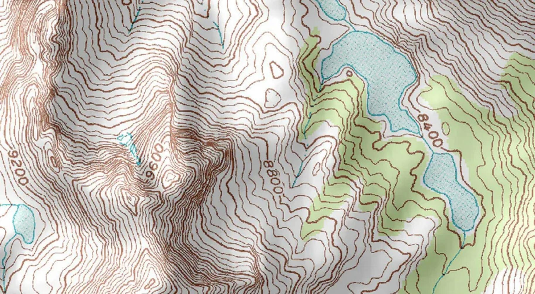
A topographic survey maps the land’s surface, showing natural and man-made features. It provides essential data on terrain elevations for planning construction and development projects. This article explores what is a topographic survey, its components, tools, and applications.


blog image
Efficient and Accurate: The Benefits of Drone Surveying

Drone surveying uses drones to efficiently gather accurate spatial data. This article explores its workings, key technologies, the types of drones used, and how it surpasses traditional methods. We’ll also look at its applications, benefits, and challenges.

blog image
Surveying Services in Louisiana

Need to measure and map your land in Louisiana? Surveying services provide the precise data required for construction, property transactions, and boundary disputes. This guide will explain why surveying is essential and what you can expect from different services.

Navigation
HomeServicesContactBlog
Call us!
337.443.0955
Address
822 Harding St Suite 204
Lafayette,LA
Policies
Privacy Policy
Latest posts
  • Understanding Topographic Surveys: What Is a Topographic Survey?
  • Efficient and Accurate: The Benefits of Drone Surveying
  • Surveying Services in Louisiana
Latest tags
  • surveying-in-lafayette-la
  • drone-surveying-in-lafayette-la
  • surveying-services
  • land-surveying