

Key Takeaways
- Land surveying is a critical discipline that provides essential data for urban planning, property division, and environmental conservation, utilizing advanced tools and technologies for precise measurements.
- The history of land surveying showcases an evolution from basic geometric techniques used by ancient civilizations to modern surveying methods, highlighting significant advancements in practices and tools over time.
- Professional land surveyors offer various services, including cadastral and topographic surveys, utilizing sophisticated instruments like total stations and GPS technology to ensure accuracy in measurement and mapping.
Understanding Land Surveying
 Land surveying is the science of measuring and mapping land. It provides the essential data needed to plan and develop infrastructure, divide property, and conserve natural environments. The evolution of surveying has been driven by the need for accurate mapping and boundary identification, significantly accelerating in the 18th and 19th centuries. Today, professional land surveyors utilize sophisticated tools and technologies to ensure precise measurements and reliable data.
The role of land surveying extends across various sectors, influencing urban planning, property division, and environmental conservation. From simple geometric principles used by early civilizations to the advanced techniques we have today, land surveying has always been a critical component in shaping our world. Whether it’s for legal descriptions, construction projects, or managing real property, the accuracy and reliability of land surveys are paramount.
Historical Overview of Land Surveying
The history of land surveying is as ancient as civilization itself. From the prehistoric surveyors who used basic geometry to the ancient Egyptians who employed rope geometry to delineate property boundaries, the evolution of surveying has been marked by innovation and precision.
This historical journey highlights the advancements in techniques and tools that have shaped the modern practice of land surveying.
Prehistoric Surveyors
Prehistoric surveyors were the pioneers of land measurement, using fundamental geometric principles to create monumental structures and monuments like Stonehenge. These early surveyors showcased their understanding of spatial relationships, laying the groundwork for future advancements in the field.
Their innovative techniques were crucial in shaping the landscape, demonstrating the timeless importance of accurate land measurement.
Ancient Egyptian Surveying
The ancient Egyptians, known as ‘Rope-Stretchers,’ utilized a systematic method involving calibrated ropes with knots to measure and restore farm boundaries after annual flooding. This technique, known as rope geometry, allowed them to achieve precise measurements necessary for constructing monumental structures like the Pyramids, minimizing the risk of errors.
Their advanced understanding of geometry in land surveying was instrumental in defining property boundaries and planning infrastructure.
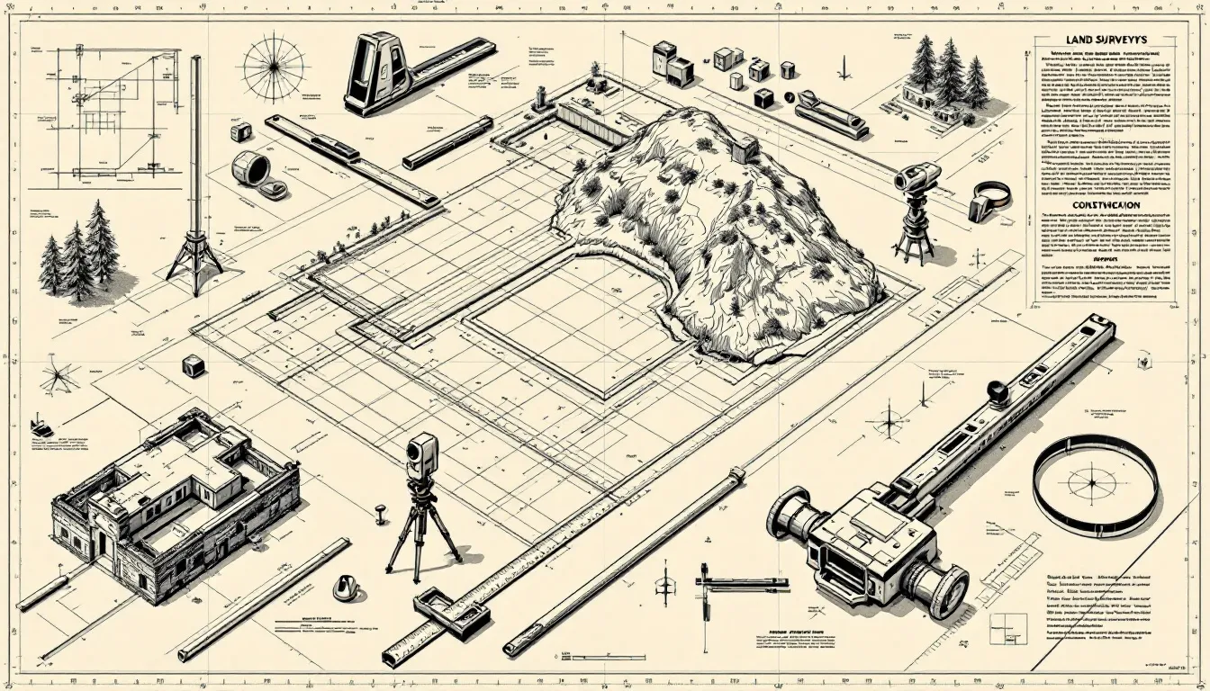
Types of Land Surveys
 Land surveys can be categorized into several types, each serving a unique purpose:
- Cadastral surveying: establishing property lines
- Topographic surveys: mapping elevation changes
- Drone surveying: capturing data over extensive areas Each type of survey plays a critical role in property assessment and management.
Knowing these types reveals the diverse applications of land surveying.
Cadastral Surveying
Cadastral surveying is essential for establishing property boundaries and creating legal documents that define land ownership. Cadastral surveyors analyze legal documents and prior surveys to accurately determine property lines and associated rights. This type of surveying is vital for ensuring clarity in property rights and preventing disputes.
Topographic Surveys
Topographic surveys provide detailed information about the contours and elevation changes of a terrain, which is crucial for planning construction and development projects. These surveys create detailed maps that illustrate the natural and artificial features of the land, aiding engineers and architects in designing projects that adapt to site conditions.
Topographic surveys play a crucial role in urban planning and site development, serving primary roles for users in the overall process.
Drone Surveying
Drone surveying uses unmanned aerial vehicles to gather data over extensive areas, enabling efficient and precise survey information capture. Modern drone technology quickly and accurately captures comprehensive data, especially in challenging terrains or large properties.
This method significantly improves the efficiency and accuracy of land surveys.
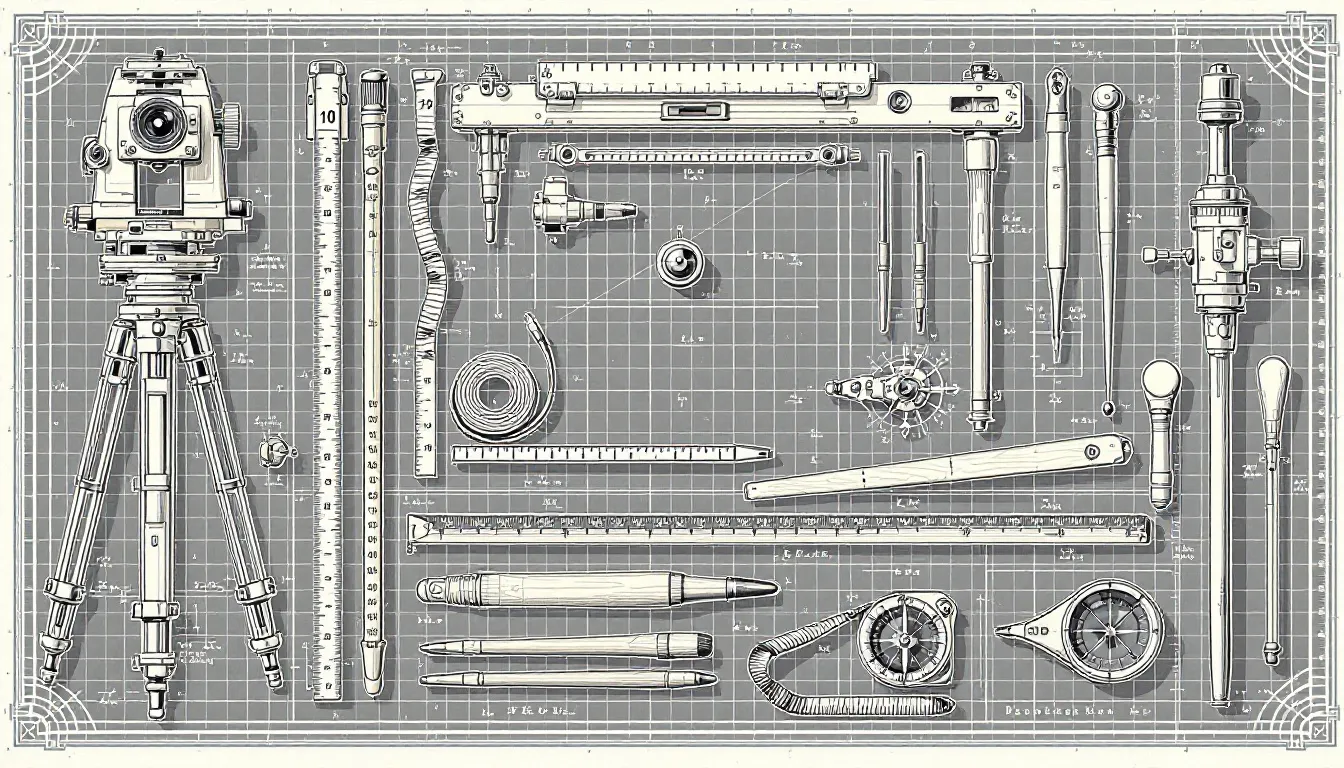
Tools and Instruments in Land Surveying
 Land surveying relies on various specialized instruments to achieve accurate measurements of the earth’s surface. From traditional tools like theodolites to high-tech instruments such as drones and GPS devices, these tools are crucial for precise data collection and analysis.
A combination of tools is required in surveying to collect accurate measurements and develop detailed maps and triangulation coordinates models.
Total Stations
Total stations combine electronic theodolites with distance measuring capabilities to provide precise angle and distances measurements for surveying. These instruments merge the functions of electronic theodolites and electronic distance measurement, allowing for accurate angular and linear measurements.
Robotic total stations can automatically aim and measure, enhancing efficiency and reducing human error in data collection.
GPS Technology
GPS technology is integral in surveying, offering real-time positioning and improving the speed and accuracy of data collection. This technology allows for real-time data acquisition, significantly increasing the accuracy of surveying tasks.
The integration of GPS with other surveying tools enhances overall workflow and data management during land surveys.
Surveying Software
Surveying software processes and analyzes collected data, improving project efficiency and accuracy. These solutions manage data, perform calculations, and create maps and models efficiently.
Many modern surveying software solutions offer cloud capabilities for easier data sharing and collaboration among survey teams.
The Surveying Process
The surveying process involves several phases: planning, field data collection, and data analysis. Understanding these phases ensures land surveyors deliver accurate data that supports legal and developmental processes.
Each phase is critical for producing accurate representations of land, utilized in various applications.
Planning and Preparation
Effective planning and preparation for a land survey include:
- Thorough research
- Establishment of a clear project plan
- Gathering all relevant property documentation
- Reviewing legal documents
Comprehensive research ensures that all necessary data is available for an accurate and efficient survey conducted process.
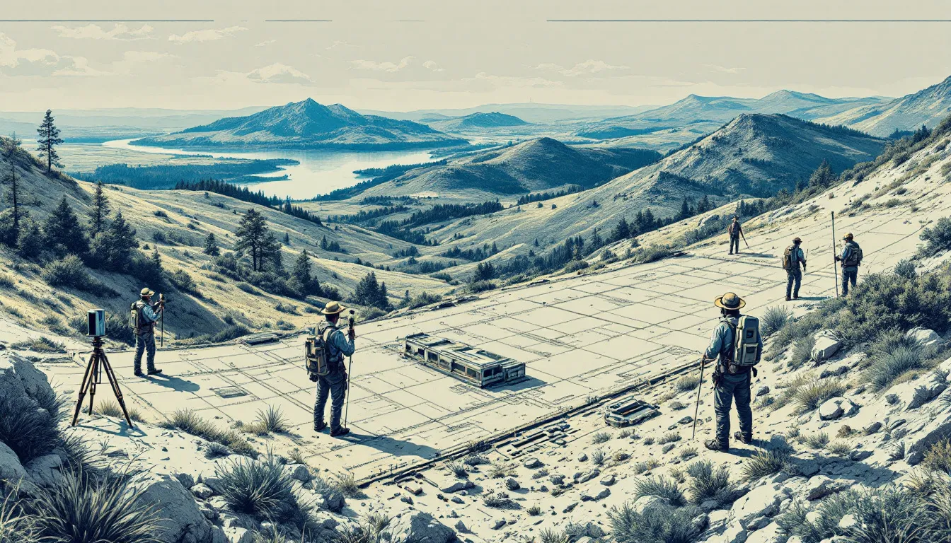
Fieldwork
The fieldwork phase involves the collection of data using various instruments and technology to achieve project goals and project timelines. During the preparation stage, surveyors assess project goals and constraints to ensure all necessary resources and permissions are in place.
Site preparation may involve clearing vegetation to allow access for surveyors on the ground.
Data Analysis and Mapping
In the data analysis phase, collected information is analyzed to:
- Create accurate maps and legal descriptions of property boundaries.
- Use surveying software to analyze survey data.
- Create detailed maps and visual representations of surveyed areas.
This phase involves determining the collected measurements to accurately reflect the surveyed area.
Applications of Land Surveying
 Land surveys have a wide range of applications, from construction projects to real property management and environmental studies. Professional land surveyors provide clear legal documentation that supports transactions and prevents disputes over property boundaries.
These applications highlight the critical role of land surveying in various sectors.
Construction Projects
Land surveying is essential in construction, providing necessary measurements that ensure the safety and efficiency of structures. Topographic surveys are crucial for urban planning, as they accurately depict the natural and artificial features of the land.
Surveyors perform detailed site assessments and mark construction point points on-site to ensure structures are built according to design specifications.
Real Property Management
Land surveying is vital for resolving property disputes and managing land use effectively. In property management, land surveys help clarify property boundaries, preventing disputes and supporting smooth property transactions.
Pioneer Surveying delivers customized surveying solutions that cater specifically to the construction, real estate, and environmental sectors.
Environmental Studies
Surveys are crucial in environmental studies, aiding in impact assessments and strategies for conserving natural habitats. Topographic surveys illustrate the contours and elevations of a land area, which can affect infrastructure planning and environmental assessments.
Surveying techniques aid in planning conservation efforts and sustainably managing natural resources and maintenance plans.
Benefits of Professional Land Surveying Services
Professional land surveyors utilize advanced tools and technology to ensure high accuracy in measuring land dimensions and boundaries. Benefits of hiring professional land surveyors include:
- Minimizing the chances of errors by providing reliable data for property descriptions
- Accelerating the surveying process
- Allowing for faster project completion
Professional land surveying services help identify potential property disputes early, mitigating future legal risks.
Pioneer Surveying's Expertise
 Pioneer Surveying offers precise solutions tailored to the needs of diverse industries. They specialize in comprehensive surveying services designed to meet the unique needs of various clients, ensuring accuracy and efficiency in every project.
Local Services in Lafayette, LA
Pioneer Surveying is located in Lafayette, LA, and actively engages with the community to support local development projects and infrastructure planning. Their presence enhances the accuracy and efficiency of land surveying services, benefiting the local community.
Industry-Specific Solutions
Pioneer Surveying offers professional services tailored to meet the specific needs of different industries. Their industry-specific solutions cater to clients from an array of different sectors, ensuring effective planning and execution of building projects.
Advanced Aerial Surveying Techniques
Pioneer Surveying offers aerial surveying services, including UAS Photography, Laser Scanning, and Photogrammetry. These advanced techniques enhance the precision of surveying tasks, improving data collection accuracy and efficiency.
Summary
The journey through the world of land surveying reveals its historical significance, modern advancements, and diverse applications. From prehistoric surveyors to cutting-edge drone surveying, the evolution of this field showcases its indispensable role in shaping our built environment. Pioneer Surveying stands out with its expertise and advanced techniques, making it a trusted partner in various sectors. Embrace the precision and reliability that professional land surveying services bring to your projects.
Frequently Asked Questions
What type of services does Pioneer Surveying provide?
Pioneer Surveying specializes in professional land surveying services. This includes various surveying techniques to meet the needs of their clients.
Where is Pioneer Surveying located?
Pioneer Surveying is located in Lafayette, Louisiana.
What industries does Pioneer Surveying serve?
Pioneer Surveying serves clients across various industries, focusing primarily on building projects. Their expertise spans multiple sectors, ensuring tailored surveying solutions to meet diverse client needs.
What types of aerial surveying services does Pioneer Surveying offer?
Pioneer Surveying provides a range of aerial surveying services, including UAS Photography, Laser Scanning, and Photogrammetry, among others. These services are designed to meet diverse surveying needs effectively.
What types of projects can Pioneer Surveying's services be applied to?
Pioneer Surveying's services are applicable to a variety of projects, including earthwork, topographic surveying, site planning, building layouts, and general consulting. This versatility ensures that clients receive comprehensive support tailored to their specific needs.