Key Takeaways
- Most residential land surveys in the Lafayette area range from about $400 to $1,200, while larger or more complex properties — rural tracts, commercial sites, and ALTA surveys — commonly run from $1,500 into several thousand dollars.
- The biggest cost drivers are parcel size, terrain and vegetation, the type of survey, the quality of existing records, and how quickly you need the work done.
- A boundary survey, a topographic survey, and an ALTA/NSPS survey are priced very differently because each requires a different scope of fieldwork and research.
- The cheapest quote is rarely the best value — an inaccurate or unsealed survey can cost far more to fix than it saved up front.
How Much Does a Land Survey Cost in Lafayette, LA?
A typical residential land survey in Lafayette, LA generally costs between $400 and $1,200, depending on lot size and complexity. Standard subdivision lots in places like Youngsville or Broussard fall toward the lower end, while larger rural tracts in Acadiana, waterfront parcels, or properties with unclear boundary records sit higher. Commercial and ALTA surveys are quoted individually and routinely exceed $1,500.
It's important to understand that "land survey" is not a single product with one price. A surveyor is selling professional time, licensed expertise, field labor, equipment, and legal liability — not a flat fee per acre. Two properties of the same size can carry very different prices if one has a clean chain of title and accessible corners while the other has overgrown lines, missing monuments, and conflicting deeds. The figures above are realistic planning ranges for South Louisiana, but a written quote tied to your specific parcel is always more accurate than a rule of thumb.
What Affects the Cost of a Land Survey in Acadiana?
Survey pricing is driven by how much work the parcel demands, not by a fixed rate. The five factors below have the largest effect on what you'll pay for a survey in Lafayette Parish and the surrounding Acadiana region.
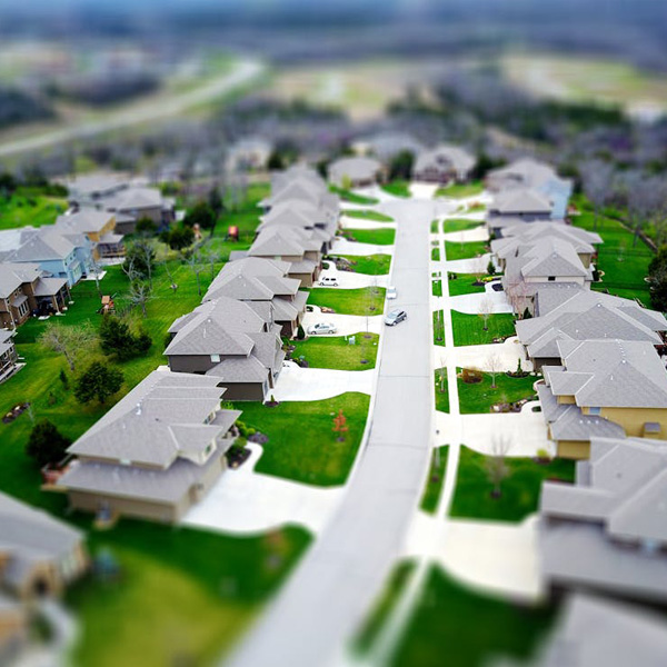
Property Size and Shape
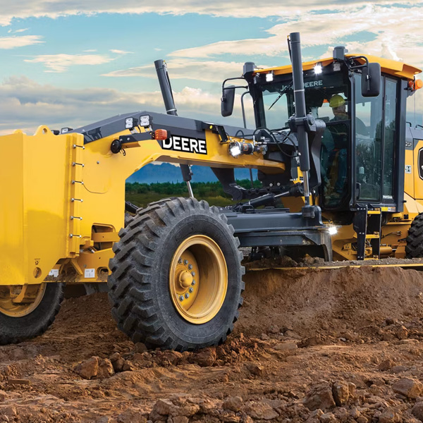
More boundary line means more fieldwork. A square half-acre lot can be measured quickly, while a long, irregular tract with a dozen corners requires far more time setting equipment and locating monuments. Rural and agricultural parcels almost always cost more than platted subdivision lots simply because there is more ground to cover.
Terrain, Vegetation, and Access
Heavy brush, wooded lines, wetlands, and standing water all slow a field crew down. In coastal and low-lying parts of South Louisiana, access and ground conditions are a real cost factor. A clear, mowed lot is faster — and cheaper — to survey than a fence line buried in blackberry vines.
Type of Survey
A simple boundary survey costs less than a detailed topographic survey or a comprehensive ALTA/NSPS survey, because each adds scope. Topographic work requires shooting elevations and mapping features; ALTA surveys add extensive title research and strict national standards.
Quality of Existing Records
When prior surveys, recorded plats, and clear deeds exist, research is faster. When the record is a tangle of old, conflicting descriptions — common with land that has been split among heirs over generations in Acadiana — the surveyor must spend hours reconciling the history before a single measurement is taken.
Turnaround Time
A standard scheduling window is built into most quotes. If you need a rush survey to close on a property or meet a permit deadline in Lafayette or Scott, expect to pay a premium for the crew to be reprioritized.
Why Survey Types Are Priced Differently
The type of survey you order is one of the largest single factors in the final cost, because each type defines a different scope of work. Ordering the right one — not the most expensive one — is how you control cost without sacrificing what you actually need.
A boundary survey locates and marks your property corners and lines. It answers "where does my land begin and end?" and is the most common and affordable type for homeowners settling fence questions or buying a lot. A topographic survey maps the elevations and physical features of the land — contours, drainage, structures, and trees — and is used by engineers and architects for design; it costs more because it captures far more data. An ALTA/NSPS survey follows a detailed national standard combining boundary, title, and improvement information, and is typically required for commercial real estate transactions. It is the most thorough and the most expensive.
Closely related work such as construction staking, elevation certificates, and FEMA Letters of Map Amendment is priced separately again, because each carries its own fieldwork and documentation requirements. Telling your surveyor what the survey is for — a fence, a sale, a building permit, a flood-insurance challenge — lets them scope it correctly the first time.
How to Budget for a Survey Without Overpaying
The smartest way to budget is to get a written, scope-specific quote and to give the surveyor good information up front. The more clearly you describe the property and your goal, the tighter and more accurate the estimate will be.
- Gather your documents first. Provide your deed, title work, any prior survey, and your plat. Existing records cut research time and can lower your cost.
- Be specific about purpose. A survey for a backyard fence in Carencro is a different job than one for a commercial closing in Lafayette — say which you need.
- Clear access where you can. Safe, reasonable access to corners and lines reduces field time.
- Ask what's included. Confirm whether the quote covers a sealed plat, corner markers, and a record drawing, so you're comparing like for like.
- Weigh value, not just price. A licensed Louisiana Professional Land Surveyor's sealed plat carries legal weight; a cheap, unsealed measurement does not.
If you'd like a clear, itemized estimate for a property anywhere in Lafayette Parish or the broader Gulf Coast, contact Pioneer Surveying or call (337) 443-0955. We'll ask the right questions about your parcel and give you an honest scope and price before any fieldwork begins.
Is the Cheapest Survey Always the Best Deal?
No — the lowest quote can become the most expensive choice if the work is inaccurate or improperly sealed. A land survey is a legal document. If boundaries are set wrong, you may build over a setback, encroach on a neighbor, or discover at closing that the plat won't satisfy a lender or title company. Correcting those problems costs far more than the few hundred dollars an uncertain bargain seemed to save.
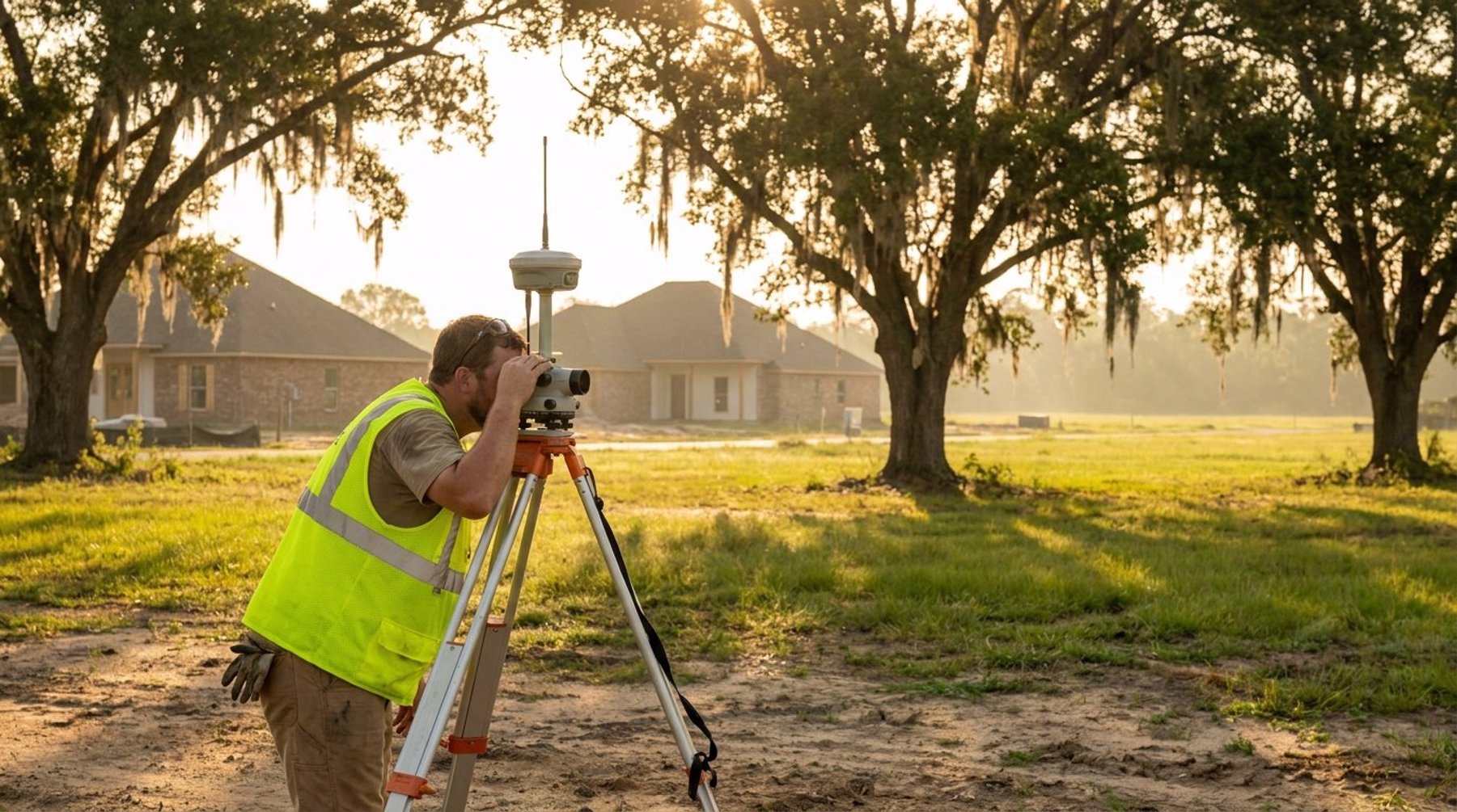
Value in surveying comes from accuracy, proper licensure, modern equipment, and clear documentation. Firms like Pioneer Surveying use RTK GNSS receivers, robotic total stations, and aerial photogrammetry to deliver repeatable, defensible results across Lafayette, New Iberia, Opelousas, and the wider Acadiana area. When you compare quotes, compare the full scope — credentials, deliverables, and standards — not just the bottom-line number.
How much does a land survey cost in Lafayette, LA?
Most residential land surveys in the Lafayette area cost between $400 and $1,200, depending on lot size, terrain, and complexity. Larger rural tracts, commercial properties, and ALTA surveys typically run from $1,500 into several thousand dollars. A written quote tied to your specific parcel is the most accurate way to know your price.
Why do two surveys of the same size property cost different amounts?
Price reflects the work required, not just acreage. A parcel with clear records, accessible corners, and open terrain is faster to survey than one with overgrown lines, missing monuments, or conflicting deeds. The type of survey — boundary, topographic, or ALTA — also changes the scope and therefore the cost.
What is the difference between a boundary survey and a topographic survey?
A boundary survey locates and marks your property corners and lines, answering where your land begins and ends. A topographic survey maps the land's elevations and physical features for engineering and design. Topographic surveys capture more data and generally cost more than a basic boundary survey.
How long does a land survey take in Louisiana?
A straightforward residential boundary survey often takes one to three weeks from order to sealed plat, depending on scheduling, records research, and field conditions. Complex tracts or rush requests can shift that timeline. Providing your deed and any prior survey up front helps the work move faster.
Should I just pick the cheapest survey quote?
Not necessarily. A survey is a legal document, and an inaccurate or unsealed one can lead to setback violations, encroachments, or closing delays that cost far more to fix. Compare credentials, deliverables, and standards — a sealed plat from a licensed Louisiana surveyor is worth more than the lowest number.