Key Takeaways
- An elevation certificate is a FEMA form, completed and sealed by a licensed land surveyor, engineer, or architect, that records how high a building's floors, equipment, and surrounding ground sit compared with the flood elevation for that location.
- In Lafayette Parish, you are most likely to need an elevation certificate when building or substantially improving a structure in a flood zone, buying flood insurance, or applying to FEMA for a LOMA.
- Flood insurance no longer always requires an elevation certificate, but one can still lower a premium and settle questions about a building's flood risk.
- Before ordering a new one, check whether one already exists. A current elevation certificate stays valid as long as the building and its surrounding ground haven't changed.
What Is an Elevation Certificate?
An elevation certificate is a standardized FEMA document that records the surveyed elevations of a building and the ground around it, then compares them with the Base Flood Elevation (BFE) on the Flood Insurance Rate Map (FIRM). In Louisiana, a licensed professional must certify the elevations, and in practice that work is done by a land surveyor.
The form belongs to the National Flood Insurance Program (NFIP). It's used by insurance agents, lenders, parish and city floodplain managers, and FEMA itself. Across Acadiana, where much of the low-lying land sits in mapped flood zones, it is one of the most commonly requested survey documents.
The certificate is organized into lettered sections. The ones property owners deal with most are:
- Section A – Property information: the owner, address, legal description, building use, building diagram number, crawlspace or enclosure details, and the number and size of flood openings.
- Section B – Flood map information: the community, FIRM panel number and effective date, flood zone, and the Base Flood Elevation at the building site.
- Section C – Building elevation information: the surveyed elevations themselves, along with the vertical datum and the benchmark used.
- Section D – Certification: the surveyor's signature, seal, license number, and comments.
Later sections handle special cases. Section E, for example, applies in Zone AO and in Zone A areas that have no published BFE.
When You Need an Elevation Certificate in Lafayette, LA
In Lafayette, LA, an elevation certificate is usually needed in one of three situations: building or substantially improving a structure in a Special Flood Hazard Area, buying or re-rating flood insurance, or asking FEMA to take a property out of the high-risk flood zone with a LOMA. Lenders and buyers may also ask for one during a sale.
New construction and substantial improvements
Communities that participate in the NFIP, including Lafayette Consolidated Government and the surrounding municipalities, must make sure new buildings in flood zones meet their minimum elevation standards. To do that, local floodplain administrators typically ask for elevation certificates at key points in construction. The form has three checkboxes for this:
- Construction Drawings: elevations taken from the design plans, often required before a permit is issued.
- Building Under Construction: elevations confirmed in the field once the slab or lowest floor framing is set, so mistakes are caught while they can still be fixed.
- Finished Construction: the final certificate, completed once the building is finished, usually required before a certificate of occupancy.
Many Acadiana communities require freeboard, meaning the lowest floor has to sit some distance above the BFE. Requirements vary by jurisdiction and can change, so confirm the current standard with your local permit office in Lafayette, Broussard, Youngsville, Scott, or Carencro before your foundation is formed. Pioneer Surveying's form surveys and construction staking help put the slab at the right height the first time.
Flood insurance
Since FEMA introduced Risk Rating 2.0 in 2021, NFIP premiums are based on a wider set of risk factors, and an elevation certificate is no longer mandatory for every policy. It is still optional rating information, though. If a building sits well above the surrounding grade, a certificate can document that and may reduce the premium. Ask your agent to compare the quote with and without one before deciding.
LOMA applications and property sales
If a home sits in a mapped flood zone but is actually built on higher ground, an elevation certificate is usually the main evidence for a FEMA Letter of Map Amendment. Our guide to getting a FEMA LOMA in Lafayette covers that process in detail. Buyers also request elevation certificates more and more during due diligence so they can estimate flood insurance costs before closing.
What Measurements Go Into an Elevation Certificate
An elevation certificate records the height of the building's lowest floors, its key mechanical equipment, and the ground directly next to the structure, all tied to a known vertical datum. A surveyor collects these readings in the field and checks them against a published benchmark, so the numbers can be compared directly with the BFE on the flood map.
The main elevations reported in Section C include:
- Top of bottom floor, including a basement, crawlspace, or enclosure floor where one exists
- Top of the next higher floor, which matters for elevated homes
- Lowest elevation of machinery or equipment serving the building, such as HVAC condensers, water heaters, and electrical panels
- Top of attached garage slab, if there is one
- Lowest adjacent grade (LAG) and highest adjacent grade (HAG), the lowest and highest ground touching the structure
- Lowest adjacent grade at the lowest elevation of deck or stairs, including structural supports
Section A also asks for the building diagram number (FEMA's illustrated categories for slab, crawlspace, elevated, and other foundation types) and the count and total area of permanent flood openings in any enclosure. The form also requires current photographs of the building, typically front and rear views.
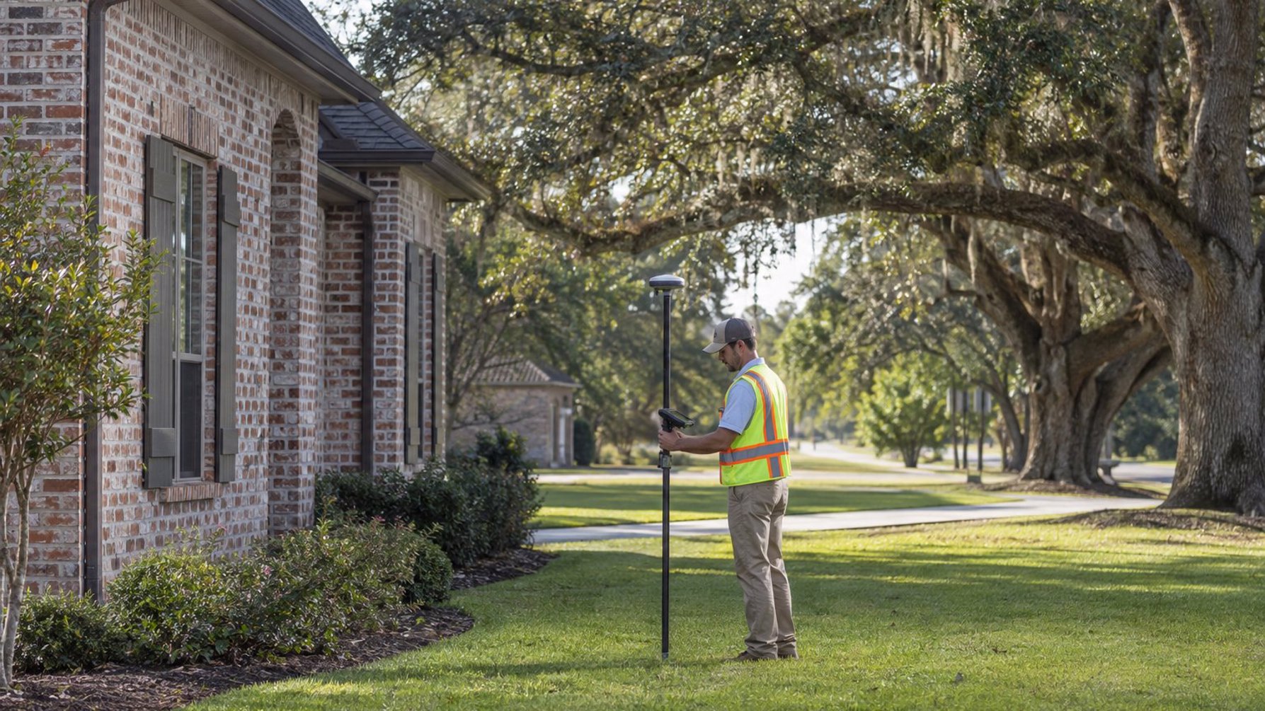
The datum matters. Current FIRMs in South Louisiana are referenced to the North American Vertical Datum of 1988 (NAVD 88), and the elevations on the certificate must match the datum on the map. Ground subsidence and benchmark movement are real issues along the Gulf Coast, so experienced Louisiana surveyors use RTK GNSS receivers tied to reliable control rather than relying on an old benchmark nearby that may have settled.
How Long an Elevation Certificate Takes and What It Costs
For a typical single-family home in the Lafayette area, the fieldwork for an elevation certificate often takes an hour or two, and the completed, sealed certificate is usually delivered within several business days to a couple of weeks, depending on the surveyor's workload. Cost depends on the property, but an elevation certificate generally costs much less than a full boundary survey.
Factors that affect price and turnaround include:
- Distance to reliable vertical control: rural parcels near Opelousas or New Iberia may need more work to establish elevations than in-town lots.
- Building complexity: elevated homes with enclosures, multiple additions, or several slab levels have more measurements to collect.
- Zone A sites without a published BFE: working out a base flood elevation can add significant work.
- Multiple certificates: new construction may need the construction drawings, under-construction, and finished-construction versions, each at a different stage.
- Combined services: ordering an elevation certificate with a boundary or topographic survey can save a separate trip to the site.
For a broader breakdown of survey pricing in the area, see our article on land survey costs in Lafayette, Louisiana.
Check for an Existing Elevation Certificate First
Before ordering a new elevation certificate, find out whether one already exists for the building. A certificate generally stays valid as long as nothing has changed on the property, such as additions, a raised or lowered floor, regrading, or relocated equipment. A new flood map does not automatically make an existing certificate invalid.
Places to check include:
- The seller or previous owner's closing documents
- Your current or previous flood insurance agent
- The local floodplain management or permit office, which often keeps certificates submitted for permits
- The surveyor who did the original work on the home, if known
If an older certificate was prepared on an outdated form, used a datum that differs from the current map, or if the building has been modified since, a new survey is usually the safer choice, especially if you're using it to support a LOMA or a significant insurance decision.
Getting an Elevation Certificate from Pioneer Surveying
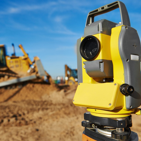
Pioneer Surveying, based on Harding Street in Lafayette, prepares elevation certificates for homeowners, builders, and developers throughout Lafayette Parish and South Louisiana. Our crews use RTK GNSS and robotic total stations to collect elevations tied to current vertical control, and the certified form is ready for your agent, lender, or permit office.
To order, it helps to have the property address, the reason you need the certificate (permit, insurance, LOMA, or sale), and any existing survey or plat. Contact Pioneer Surveying or call (337) 443-0955, Monday through Friday, 9:00am to 5:00pm.
Frequently Asked Questions
How do I get an elevation certificate in Lafayette, LA?
First, check with your insurance agent, the previous owner, and the local permit office to see whether a certificate already exists. If not, hire a licensed land surveyor. The surveyor researches the flood map, measures the building and nearby ground on site, and delivers a signed and sealed FEMA elevation certificate.
Is an elevation certificate required for flood insurance?
Not always. Under FEMA's Risk Rating 2.0, many NFIP policies can be written without one. It is still optional rating information, though, and for buildings that sit well above the surrounding ground it can lower the premium. Local permit offices still require elevation certificates for new construction in flood zones.
How long is an elevation certificate valid?
An elevation certificate has no fixed expiration date for the building it describes. It generally stays usable as long as the structure and its surrounding grade have not changed. Additions, elevating the home, regrading, or moving mechanical equipment are good reasons to get a new one.
What is the difference between an elevation certificate and a LOMA?
An elevation certificate is a surveyed record of a building's elevations. A LOMA is an official FEMA determination that a property or structure is not in the Special Flood Hazard Area. The elevation certificate is often the main evidence submitted with a LOMA application.